

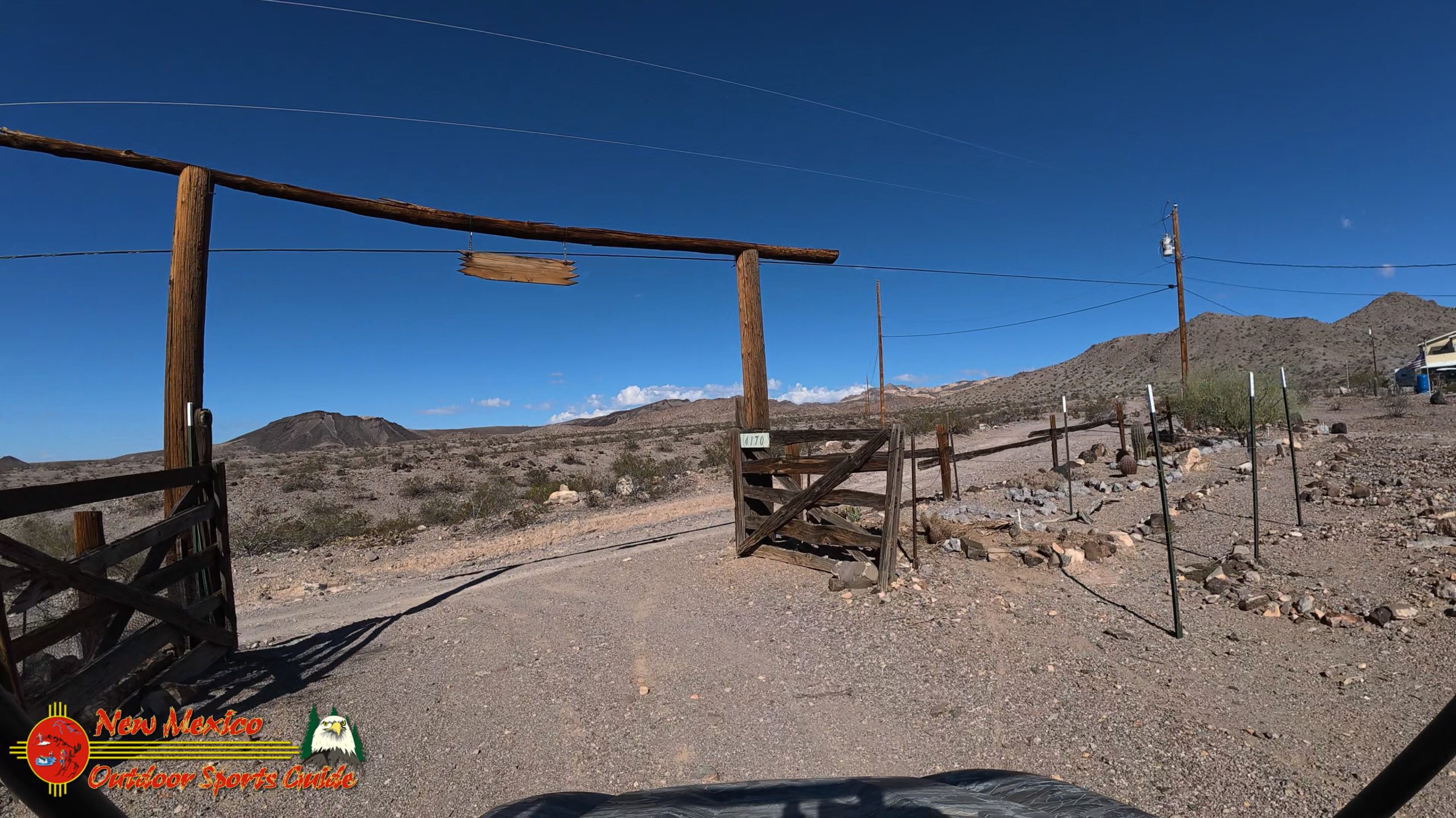
Our daily, well almost daily 4 to 5 times a week, 4 mile walk at Casa Codorniz. We follow the Old Wagon Trail to the Old Cowboy Ranch House then Burro and 4 wheeler trails back. Our house sits on the Old Wagon Trail. In fact our driveway lies directly on the trail.
The Old Wagon Trail was used by cowboys to haul supplies to the old ranch house. There is not much left of it now. Mostly vandalized/shot up by vandals. Nothing left now but the hand dug well and remnants of the old ranch house and an outbuilding used for supply storage.
An interesting place to visit.
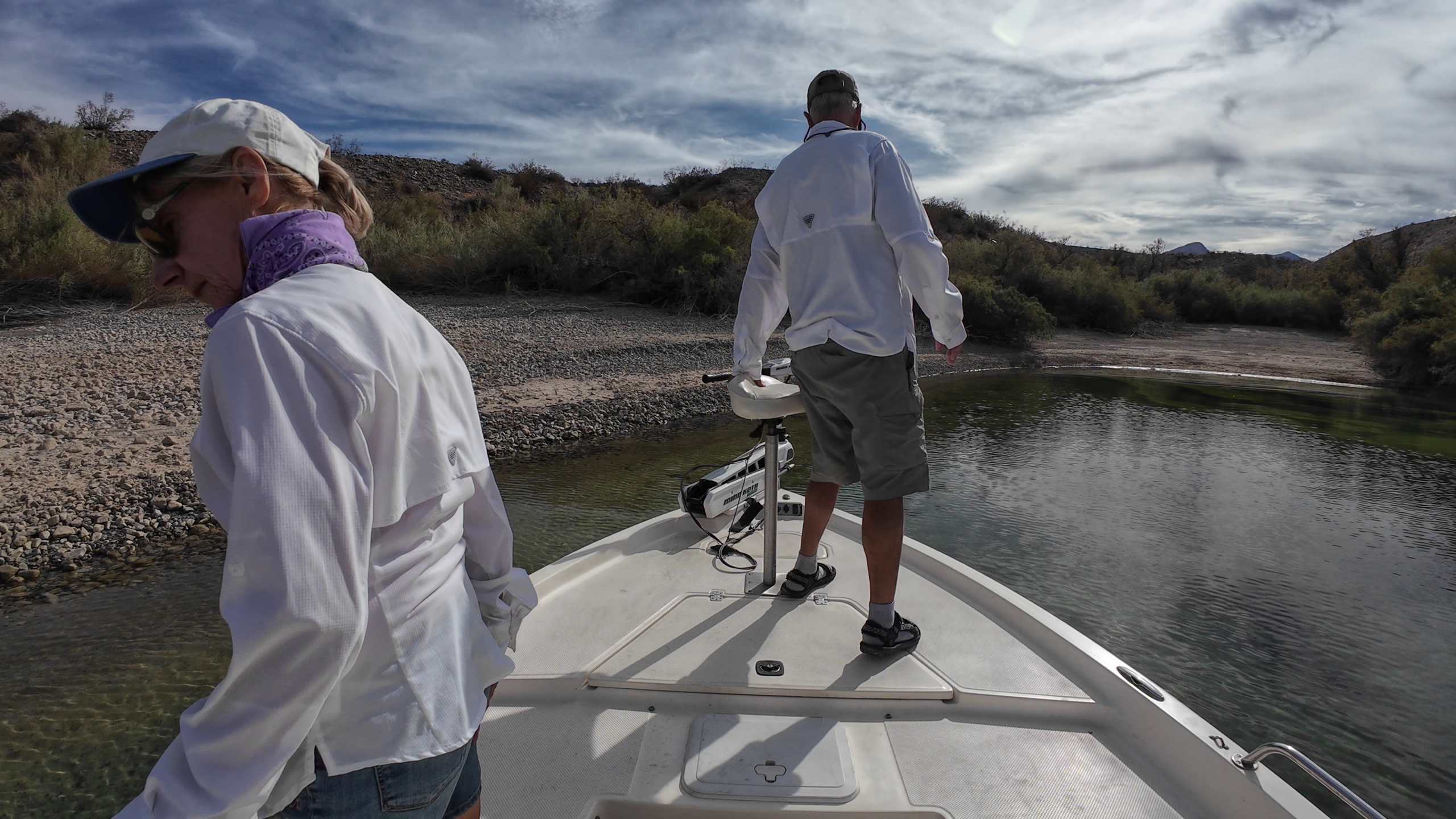
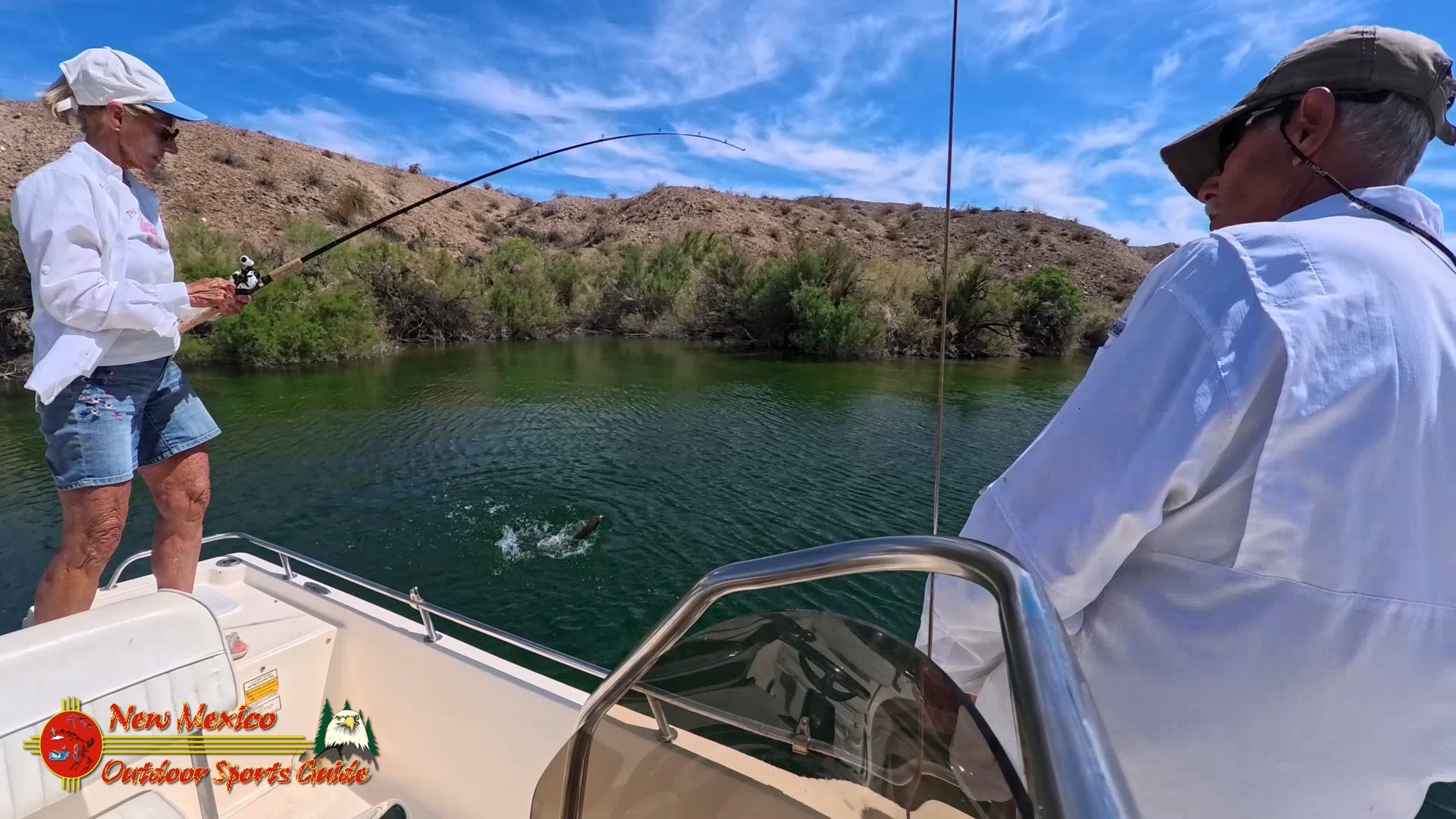
The walk skirts the foothills of the Black Mountains and the Colorado River and Lake Mohave down the valley.
The Black Mountains of northwest Arizona are an extensive, mostly linear, north-south trending 75 miles long mountain range. It forms the north-south border of southwest Mohave County as it borders the eastern shore of the south-flowing Colorado River from Hoover Dam.
The northwest and part of the western areas of the range are located within the Lake Mead National Recreation Area. Three wilderness areas are within the range. The historic mining site of Oatman, 4 miles north of Boundary Cone, is nestled in the southern portion of the range between the Mount Nutt and Warm Springs wildernesses.
Lake Mohave is a reservoir on the Colorado River created in 1951 following the completion of Davis Dam near present-day Laughlin, Nevada, and Bullhead City, Arizona. Named for the Mohave Indians who previously inhabited this region of the Colorado River valley, Lake Mohave extends approximately 67 miles along the valley from Hoover Dam to Davis Dam straddling the southern Nevada and northwestern Arizona border, which follows the original river channel.
Both narrow and shallow compared to Lake Mead, Lake Mohave lies between the Black Mountains to the east in northwestern Arizona, and the Eldorado and Newberry Mountains to the west in southern Nevada. Most of the lake's length lies within the steep, narrow walls of Black, Eldorado, Painted, and Pyramid canyons. The northern section of the reservoir is constrained by the steep rock walls of Black Canyon for a length of 22 miles and is narrower than 300 ft in places. This portion of the reservoir is primarily riverine. South of Black Canyon, Lake Mohave gradually widens to nearly four miles in Cottonwood Basin. The transition between river and true reservoir conditions occurs in Eldorado Canyon, between Black Canyon and Cottonwood Basin.


0 Comments