

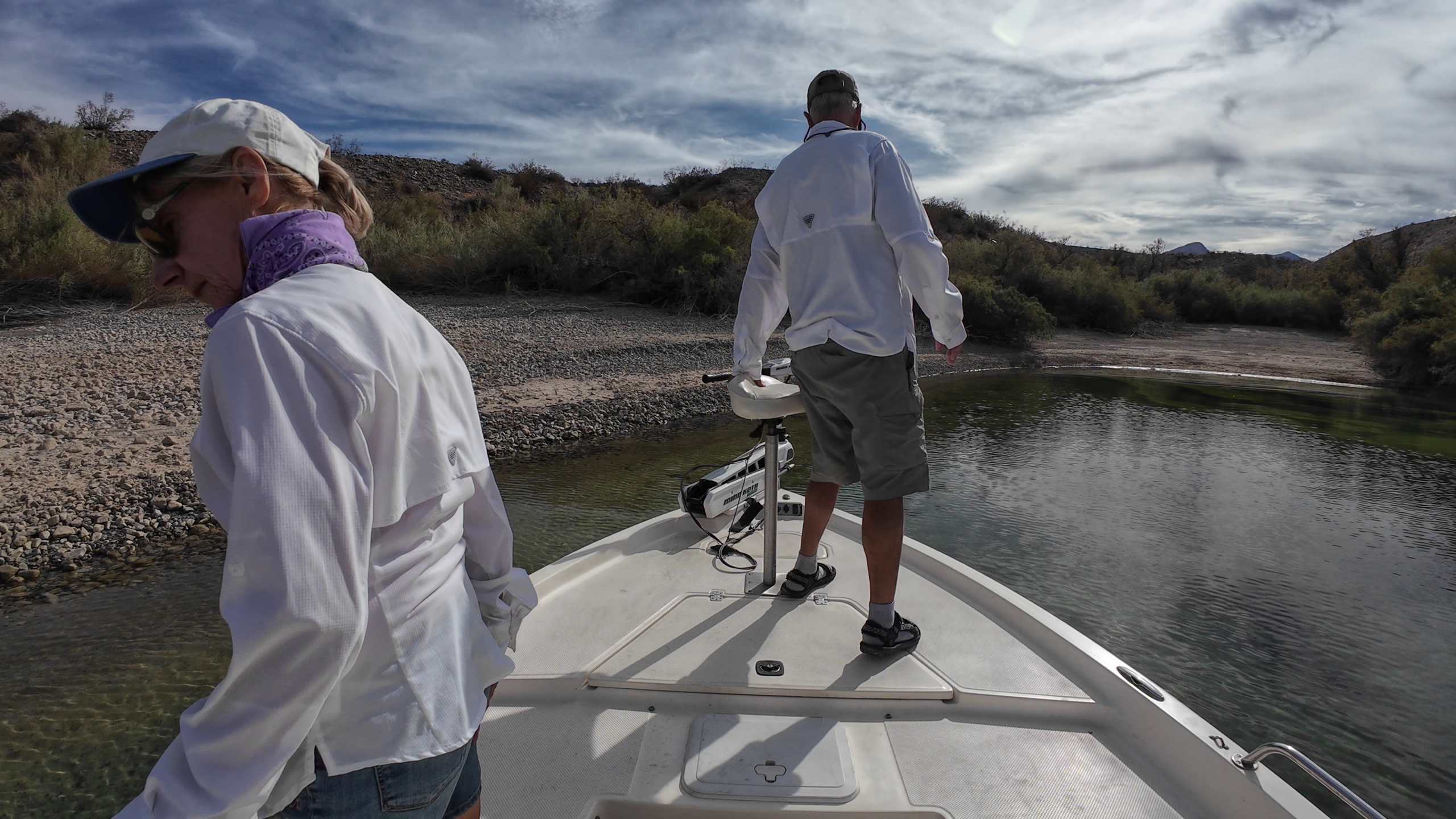
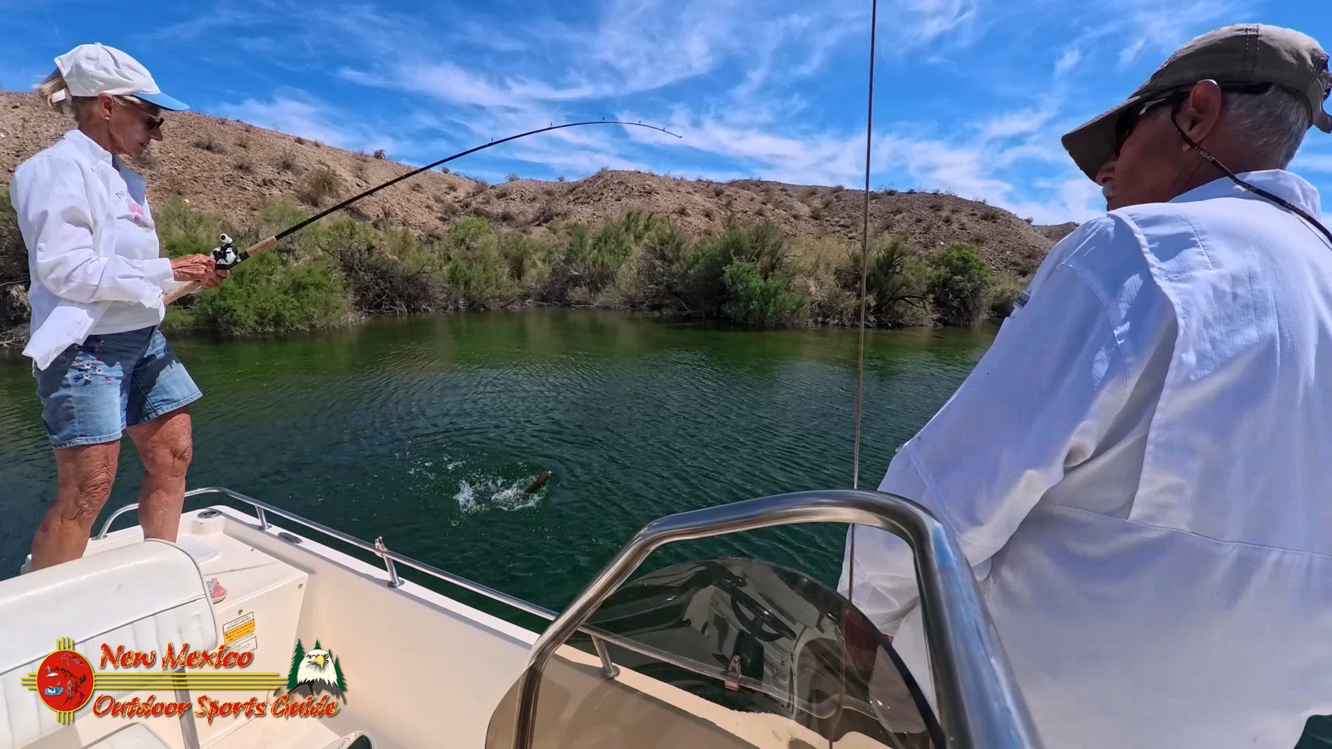
Kanab Creek is one of the many tributaries of the Colorado River. It begins in Kane County, Utah, just south of the watershed to the Great Basin and flows 125 miles south to the Colorado River.
The stream headwaters arise at an elevation of approximately 8600 feet along the base of the Sunset Cliffs. The stream flows southwest and passes just to the east of the community of Alton where it turns to the south and passes under Utah State Route 136. It continues to the south and runs parallel to U.S. Route 89 past Kanab.
Flowing from its origin some 50 miles to the north in southern Utah, Kanab Creek and its tributaries have cut a network of vertical-walled gorges deep into the Kanab and Kaibab Plateaus. Within these walls lies a maze of water and wind carved fins, knobs, potholes, and other intricately sculptured forms. Elevations range from near 2,000 feet at the river to 6,000 feet at the rim's edge.
The upper reaches serve as a winter range for the Kaibab mule deer. Vegetation is varied and sparse except for heavy riparian growth in the creek bottom. There are few dependable water sources here for man or beast during the summer months when temperatures approach 120 degrees. A number of trails lead into this rather hostile environment but many are poorly marked and infrequently maintained. Limited and arduous access to the Kanab Creek area adds a measure of remoteness that says this is truly wilderness.


0 Comments